

Guidance Articles
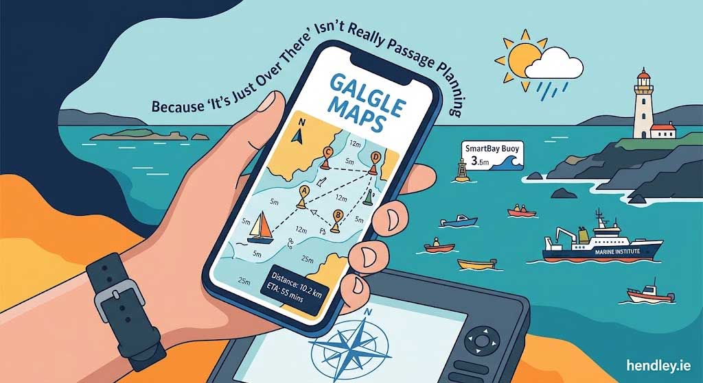
Galgle Maps: Because “It’s Just Over There” Isn’t Really Passage Planning
Galgle Maps: Because “It’s Just Over There” Isn’t Really Passage Planning
There had been some talk at the sailing club about taking a dinghy cruise across Galway Bay. We’d done similar things before: sailing down towards Salthill for the crack or supporting a water-based initiative organised by another group.
This time, though, the plan was to go straight across the bay.
Not turning right.
That’s starboard, for any boating people reading this. I do know that much.
One evening, I was telling my son about the proposed trip when he asked:
“How far is it, Dad?”
Now, I wasn’t entirely sure. Based on experience, guesswork and a scientific process I can only describe as looking across the water, I said something like:
“About 8… 10… maybe 12 kilometres.”
I wasn’t certain.
“Look, it’s just over there. It’s that far.”
Which, as answers go, is probably not one for the Royal Institute of Navigation.
It did get me thinking, though. Was I still subscribed to my navigation app?
Nope.
Was I going to resubscribe for one trip?
Also nope.
So I forgot about it.
Then, one day while driving, I had one of those thoughts that probably should have stayed in my head.
I’m a big fan of Google Maps. What if I could build a sort of Google Maps for Galway Bay?
Galgle Maps, if you will.
The name made perfect sense to me. That’s usually the first warning sign.
There was another reason, too. We do a bit of dinghy racing and people regularly ask how long our courses are.
The answer is normally something along the lines of:
“Well, you start at that buoy, sail to the next one, through the gate at the end and then finish.”
Very precise.
Very helpful.
But how long is it actually?
It Turns Out Galway Bay Is Quite Well Mapped
As far as I can tell, Galway Bay is one of the most thoroughly mapped bits of water on the planet, helped considerably by the presence of the Marine Institute.
That sounded promising.
Even more promising was discovering that there were APIs and publicly available data sources that could provide mapping, seabed information, nautical marks, weather and other useful information.
So I started exploring what was available and whether I could bring some of it together into one simple tool.
My first attempt at Galgle Maps kind of worked.
There was just one small problem.
It kept routing me by road.
Apparently, mapping software is very keen on roads. Even when you’re clearly trying to cross Galway Bay in a dinghy.
Now, boats, certainly our boats, do not have wheels. And the people at the club hadn’t envisioned us putting the boats on trailers and driving around the bay.
On the upside, the map did feature Galway Bay.
So we were making progress.
After a few rounds of development and a bit of refinement, Galgle Maps became something that actually did what I had imagined.
So, What Does Galgle Maps Do?
I’m pleased to say that Galgle Maps now features:
- A map of Galway Bay – a fairly essential starting point, I felt
- Current location – because sometimes you can just look out the window, but where’s the fun in that?
- A course plotter where you can add waypoints, drag them around and create new ones
- Distances between waypoints in nautical miles for the purists
- Total course distance in nautical miles and kilometres for the rest of us
- Water depth at waypoints, queried against Chart Datum, or Lowest Astronomical Tide levels
- A seabed contours layer
- A nautical marks layer
- Wind speed and direction
- Air temperature
- Links to Met Éireann Sea Area Forecasts
- Links to SmartBay wave buoy information
And there you have it.
Galgle Maps.
Things I Now Know That I Probably Didn’t Need to Know
Building the tool has answered a few questions.
I now know that:
- It’s approximately 1 km once around the cans in one of our sailing races
- It’s around 10 km across Galway Bay from Salthill to the other side
- It’s approximately 15 km to round Inis Meáin
- It’s about 20 km from Rabbit Island to Black Head in County Clare
- It’s 4,200.74 nautical miles (7,779.8 km) from our house to Utila in Honduras, where I learned to dive at Captain Morgan’s Dive School in another life
- I now have a much better idea why my mast broke when I turned turtle one day because, well, it’s not actually that deep there
OK, I knew the last one anyway.
But now it’s official.
A Small but Important Disclaimer
Galgle Maps is not a navigation tool and should not be relied upon for navigation or safety at sea. It is an exploratory mapping and passage-planning aid that can help answer questions and inform the use of proper charts, official navigation tools and sensible passage planning.
It’s also something you can use with one eye on the telly and one eye on your phone, which seems to be how we all do research these days.
The waypoint and distance plotting work worldwide, while the additional mapping and data layers are currently focused mainly on Ireland.
But Galgle Maps was really built for one thing: exploring beautiful Galway Bay and answering the question, “How far is that?”
You can explore Galway Bay with Galgle Maps here: https://hendley.ie/galgle-maps/
Enjoy.
Where Could Something Like This Lead Commercially?
Galgle Maps started with curiosity and a simple question, but that’s exactly what interests me about building digital tools. There is a huge amount of useful data already available through APIs and public information services. The opportunity is often not to invent everything from scratch, but to imagine a simpler way of bringing the right information together to answer a specific question or solve a practical problem. The same approach could be used to build bespoke mapping and planning tools for delivery companies, field service businesses, transport operators, tourism, marine businesses or organisations that need to visualise routes, locations, distances and operational information in one straightforward place. Give me the question, a bit of available data and enough curiosity, and there’s a reasonable chance I’ll start wondering if there’s a simpler way to build the answer.